As time goes by and adventures are done, I keep telling myself I’m going to start a little segment for one of my favorite things to do, Road Trips. I’m not just talking about cross country extravaganzas, I’m talking about afternoon scenic drives around the country, day trips or weekend trips. Let’s not limit ourselves to just the U.S., since there are tons of spectacular drives overseas. This will be the start of something I want to call “The Road Less Traveled.”
We all know that not all those that wander are lost, you can expect everything from scenic drives, cross country road trips, to off road adventures and intercontinental adventures. Since wandering is what I do best, I look forward to showing you all the joys of being off the beaten path.
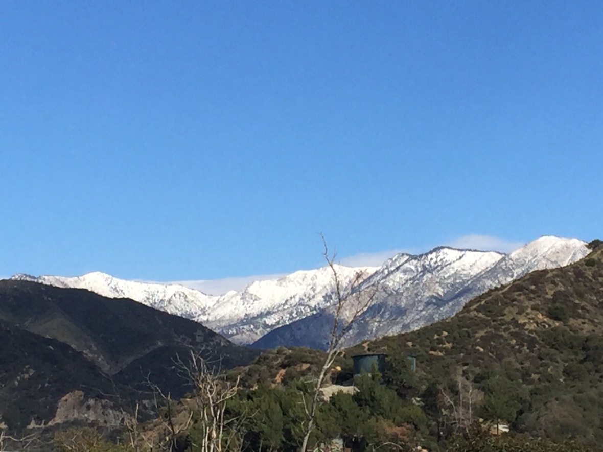
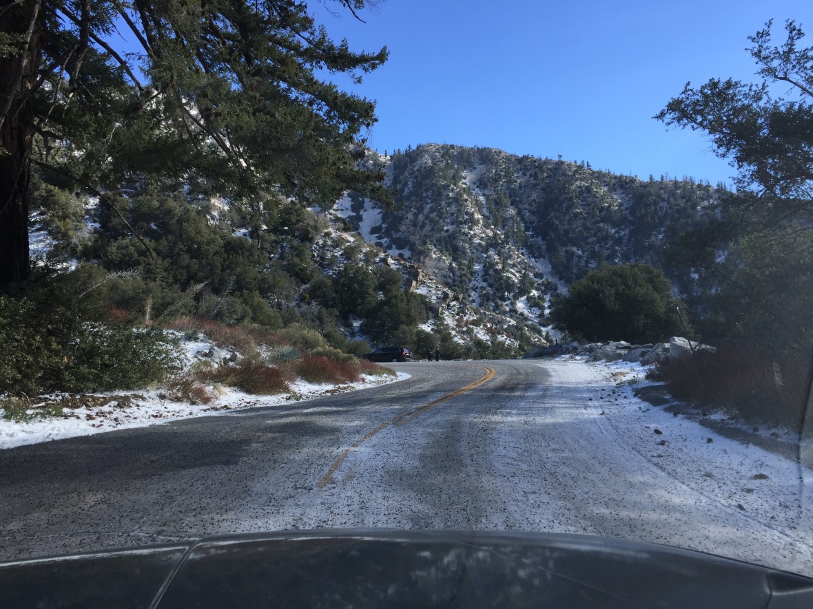
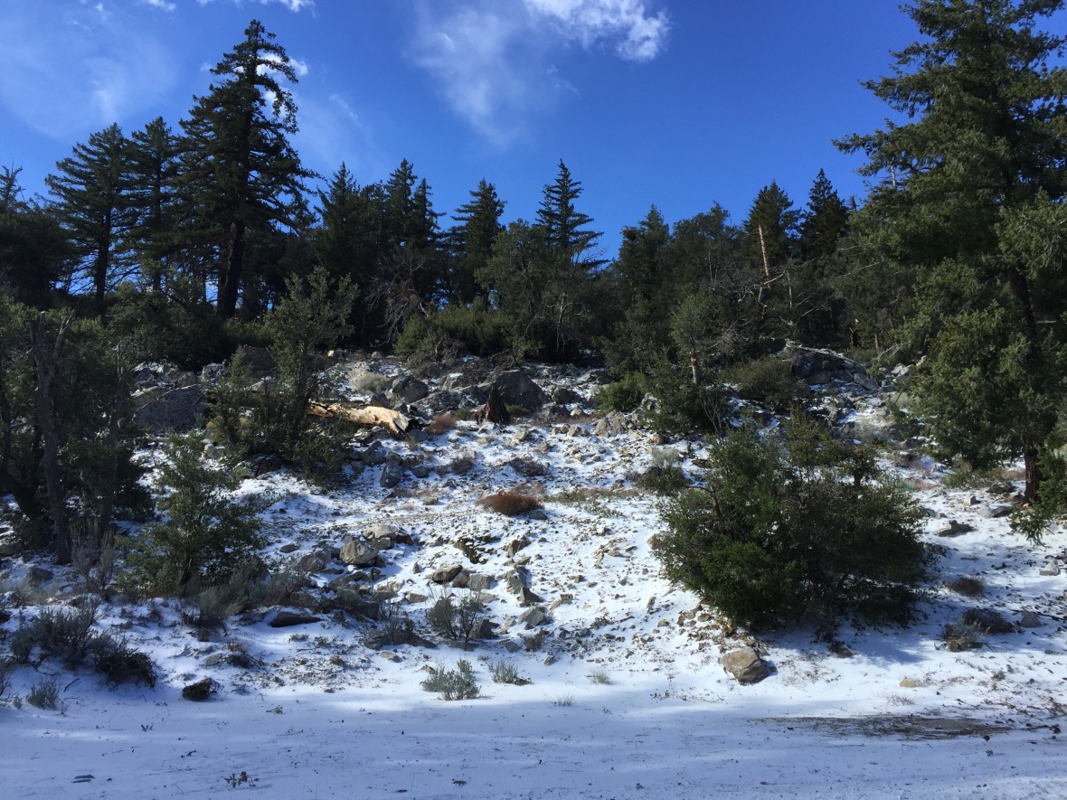
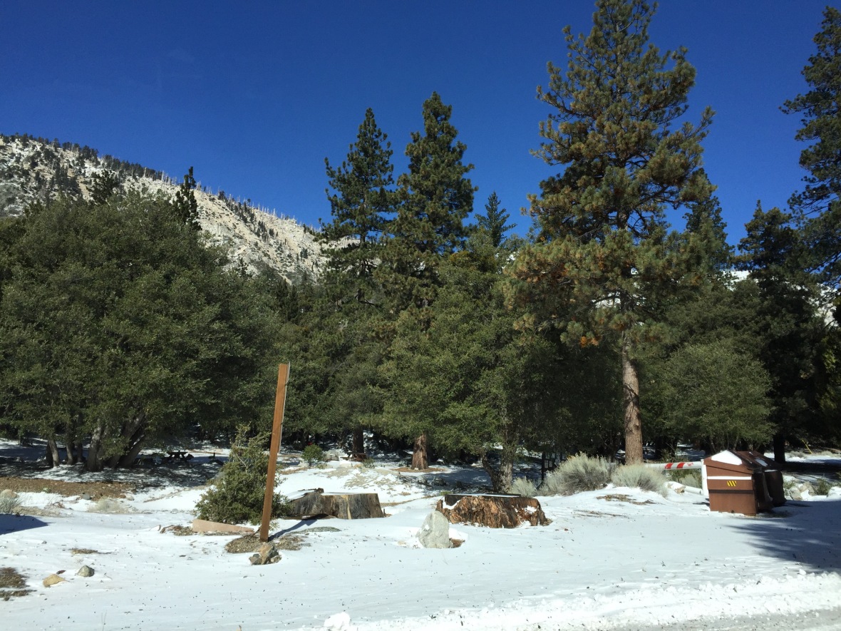
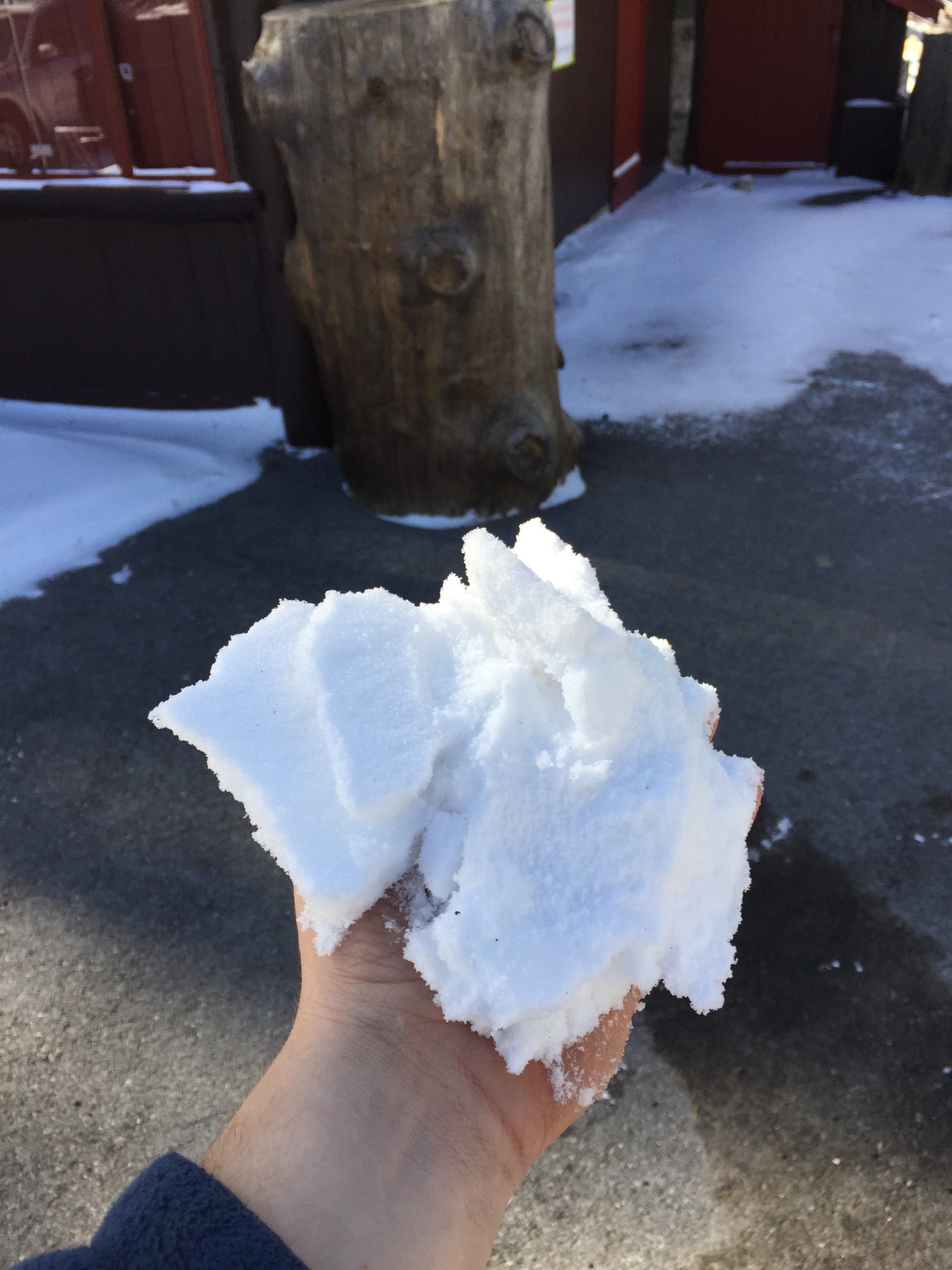
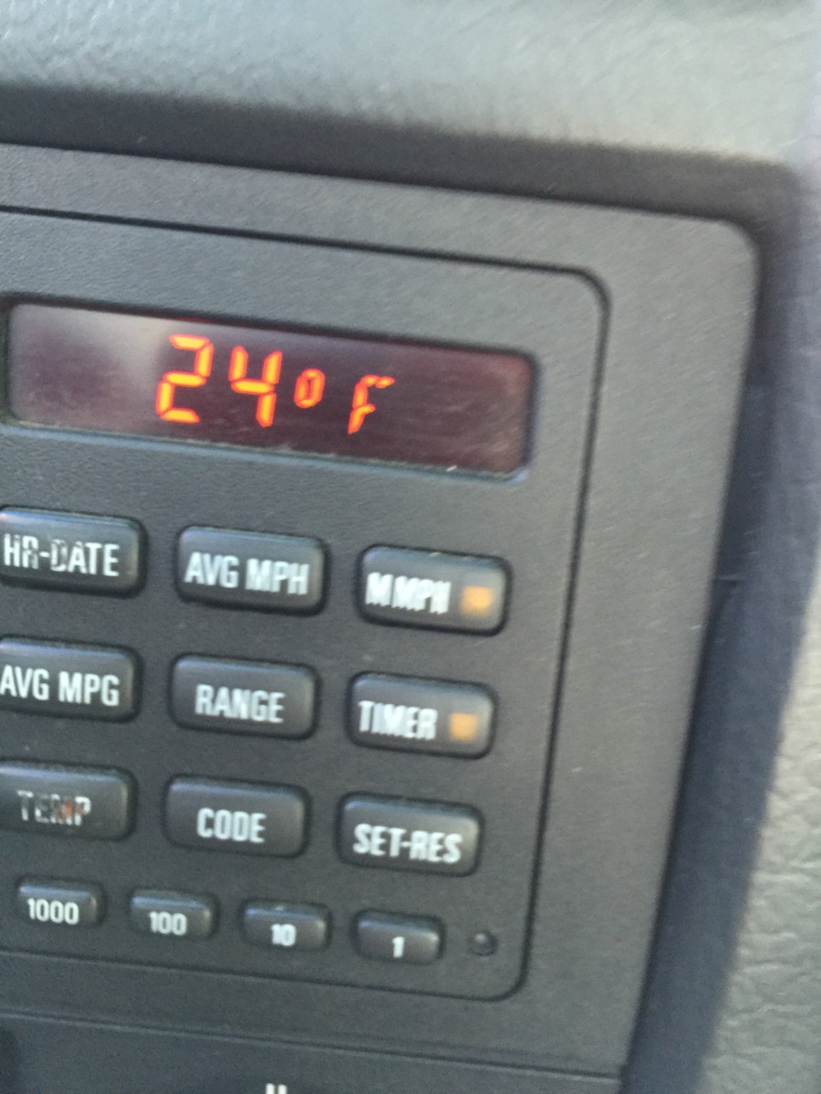
There is a saying about Southern California that goes along the lines of “You can surf in the morning and ski in the afternoon.” Granted, I’m a horrible surfer, so I’ve yet to try it. However, there is a lot of truth to that saying. When I started my trip in LA, the temperature was 78 degrees. By the time I made it to my end point, it dropped all the way to 24 degrees.
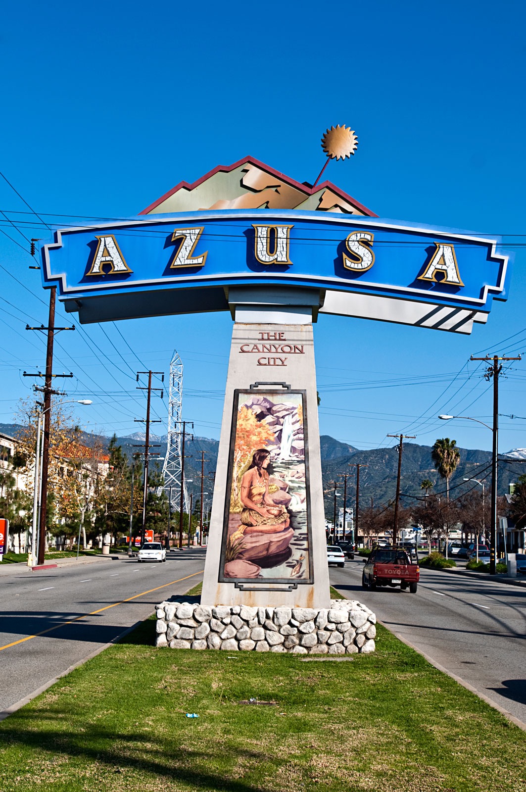
We start out right off of interstate 210 and head north on CA39. Once you start driving you will start seeing signs welcoming you to Canyon City(Azusa).
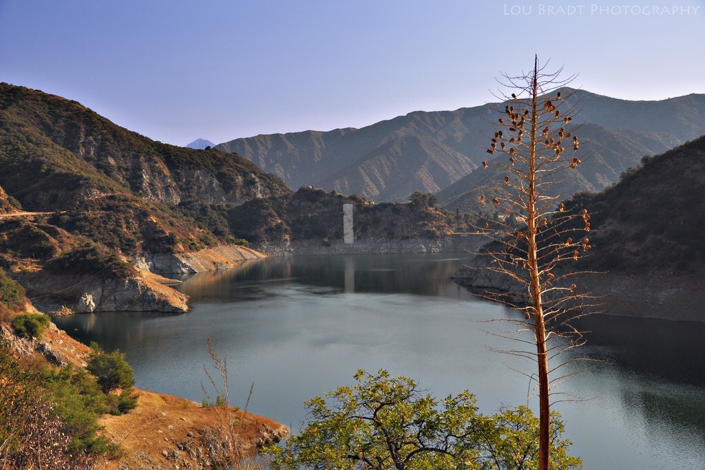
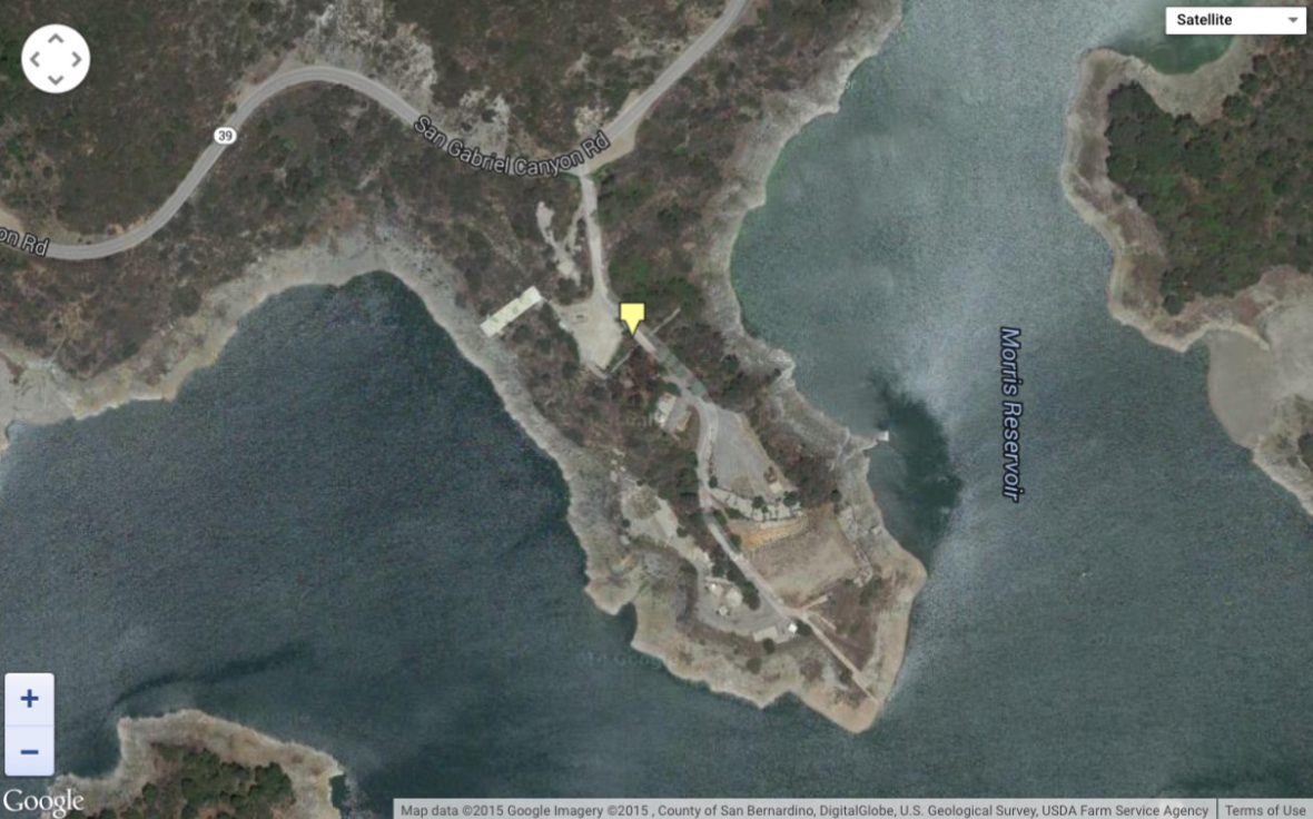
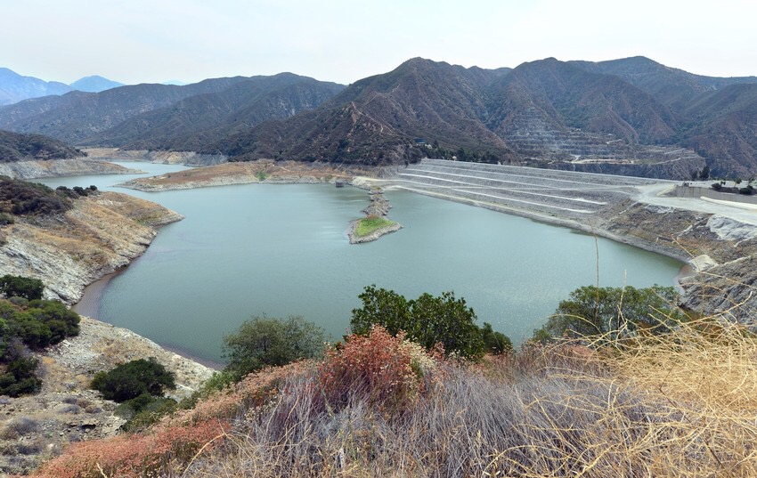
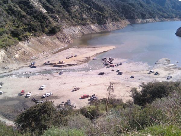
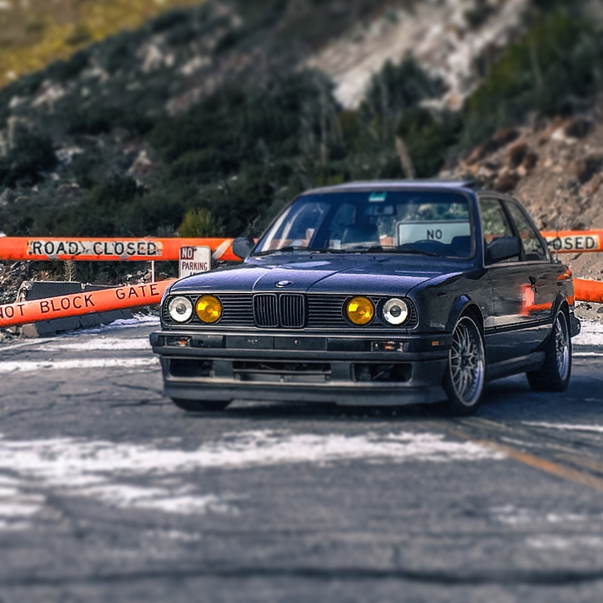
A quick little drive through the city and we’re on our way up the mountain. Keep an eye out for the road closure signs, because they do close the road at times if it gets too icy. Our first major landmark is the Morris reservoir. The Morris dam was built in 1934 as a water supply. From 1940 to the mid 1990’s the Navy partnered with the California Institute of Technology and used the reservoir for underwater weapons, including torpedoes and other ballistic missiles. The old military compound was destroyed, but you can still see some of the building foundations.
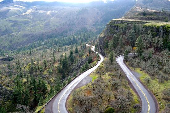
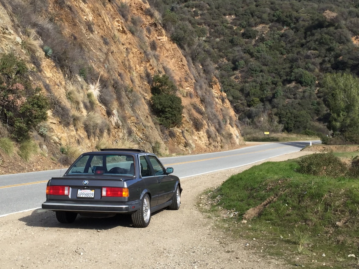
There are many turnouts and places to pull over and enjoy the scenery as you make the drive. The views are incredible, only surpassed by the views when you get to the end.
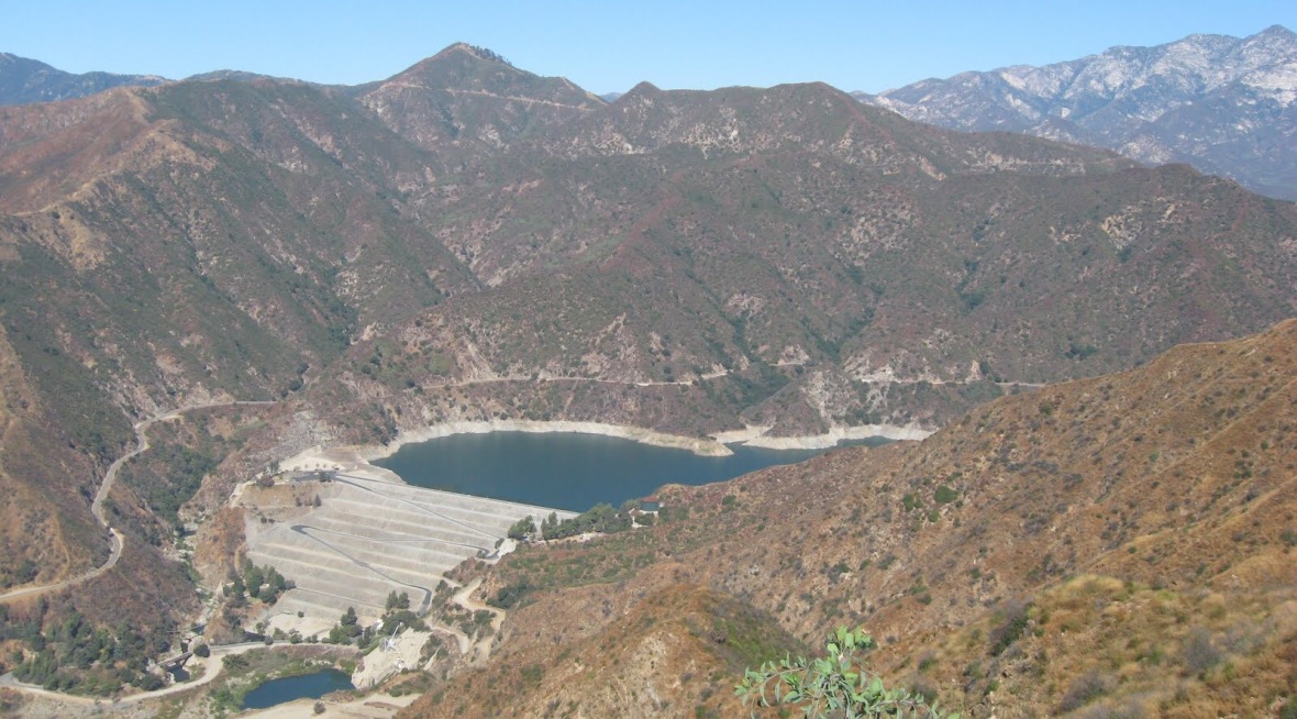
A little further up, we pass by another dam. This is the San Gabriel Dam. Unlike the first one, which was a concrete gravity dam, this is a rock-fill dam. It was built in 1939 as a means of flood control and hydroelectricity to the San Gabriel Valley area. The reason for the rock-fill design is due to its ability to withstand earthquakes better than a traditional concrete gravity damn.
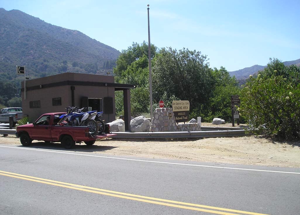
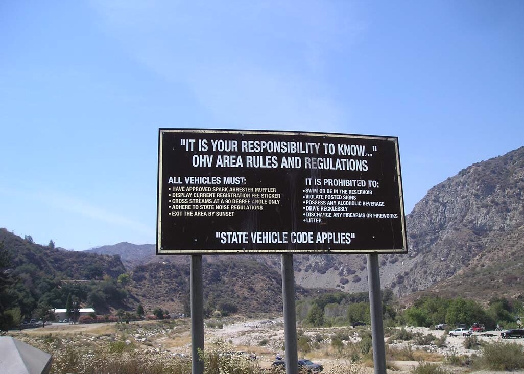
Around the halfway point we reach East Forks Road and the San Gabriel Valley OHV Area. This place is an adventure for another time. Keep your eyes open for when we explore this place. If you want more info about the OHV area, visit the U.S. Forest Service’s Website here.
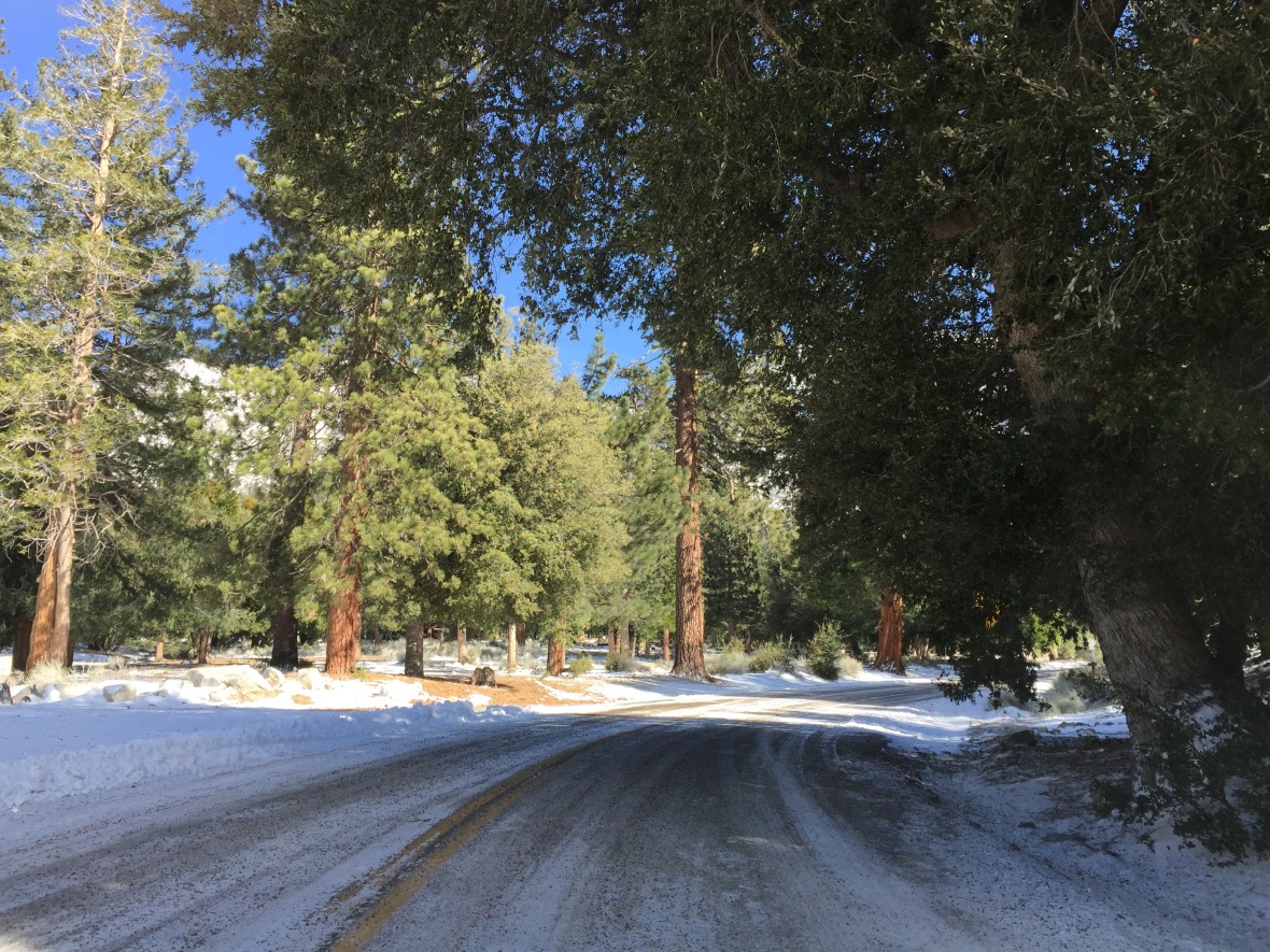
We start rapidly gaining elevation at this point and the temperature starts to drop. These roads are usually maintained really well, and if the ice/snow is too much, they will close the roads. That being said, be extra careful this time of year, as it can still be dangerous.
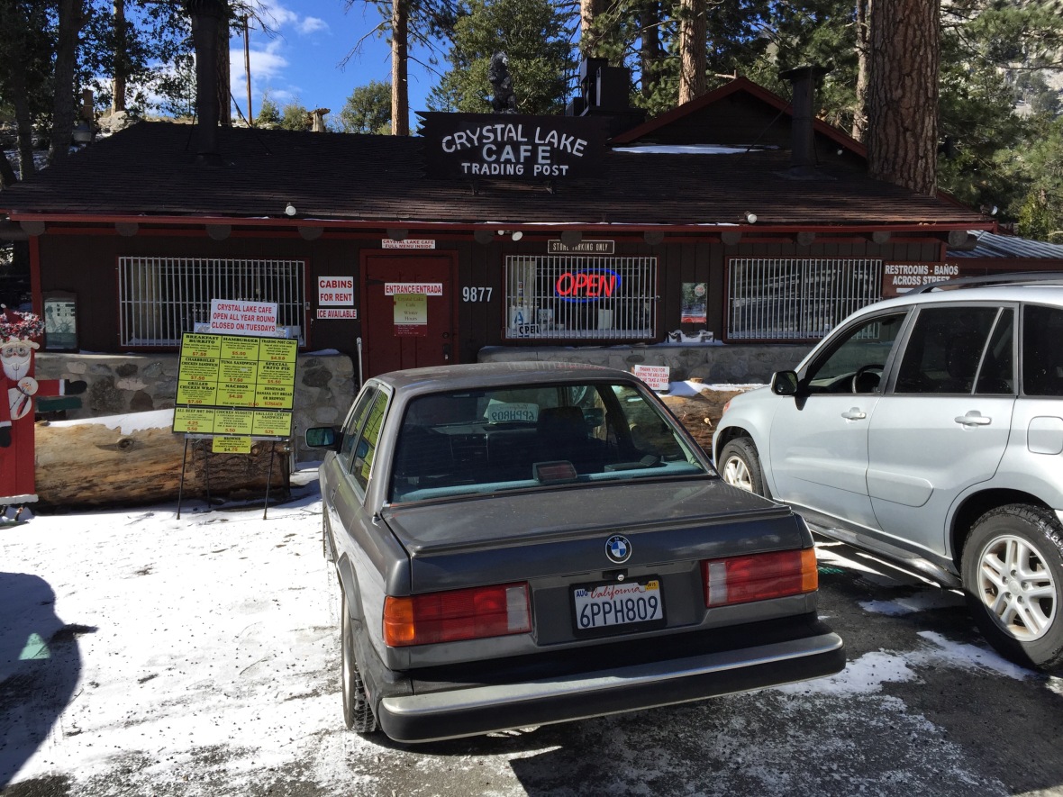
Right before you get to the end, there is a split in the road that takes you up to Crystal Lake. I always go up every time I take this trip and have lunch. There are cabins, camping spots, and fishing in the lake. There is also a small little general store that serves burgers, hot dogs, etc. they also have hot coffee, which came in handy with it being so cold. The store only accepts cash, so be sure to bring a few extra dollars with you.
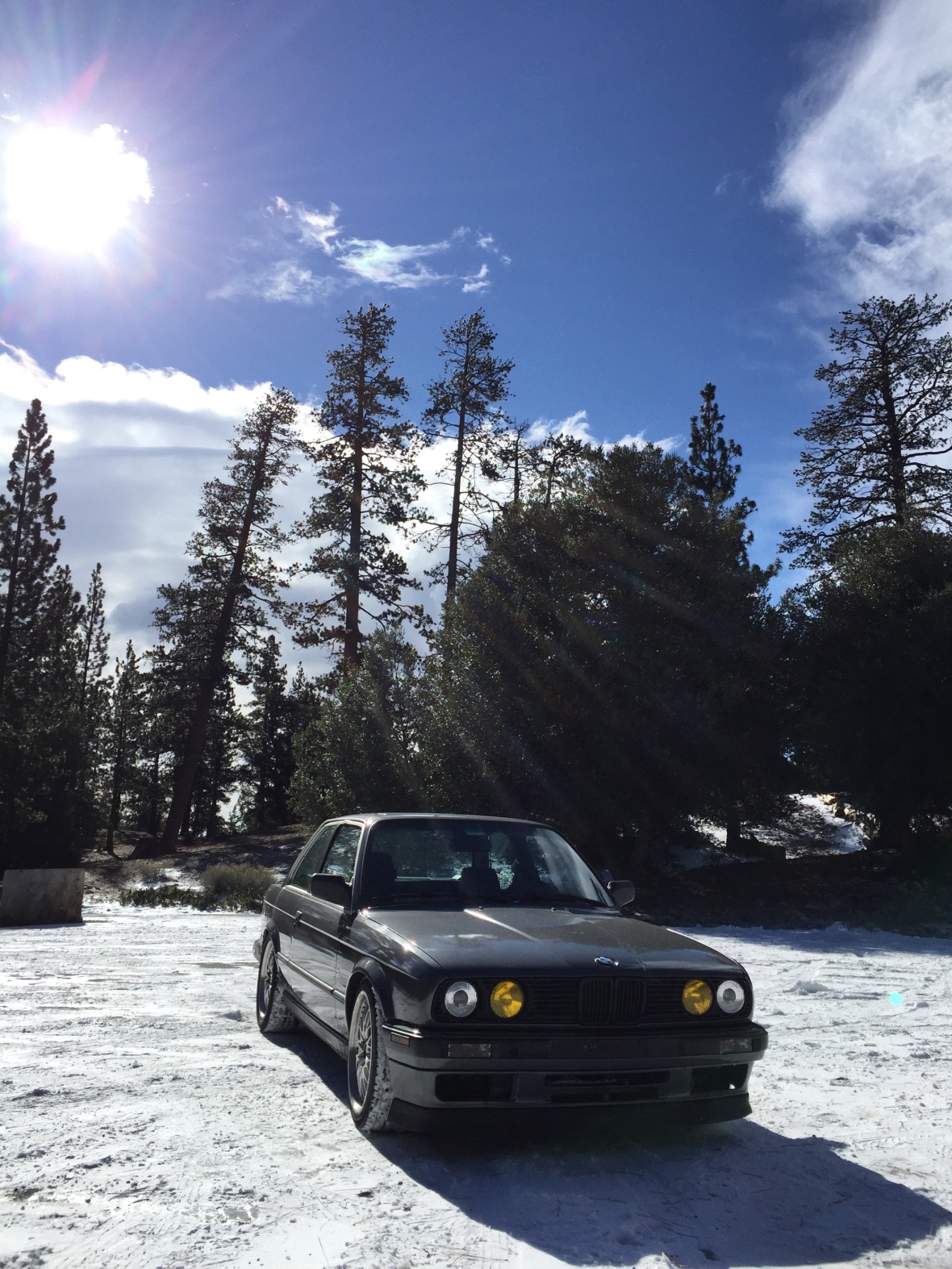
Once you’ve warmed up and had your fill, take the road back down to CA39 and continue until you reach the end. The road ends about a half of a mile from the intersection going up to Crystal Lake. CA39 originally went all the way up and connected into Highway 2, or Angeles Crest Highway. In 1978 there was a landslide that took out a big chunk of the road and it’s been closed ever since. There have been talks about it reopening sometime between 2015 and 2018, but nothing to be seen as of yet. There is a big parking area at the end of the route with panoramic views in almost every direction. You may even spot a few Big Horn Sheep!
All that’s left is to enjoy the view, take a bunch of pictures, and enjoy the trip back down!
Here are a few tips to keep in mind when taking the drive.
1. There is no cell reception up in the mountains. Be sure to notify a relative or friend of your plans before heading out.
2. It’s cold during the winter, so wear plenty of warm layers and bring a nice jacket.
3. Bring snacks and plenty of water. The store is open year round, except on Tuesdays. Even if you go when it’s open, it never hurts to have a few extras with you.
4. If you’re interested in the OHV area, you can find more information here.
5. If you would like directions or map of the trip with the starting point and various points of interest, click here.
Above all, drive safe and have fun! As always, feel free to comment or send any questions below and share with a friend. You can also like us on Facebook.







California is indeed a great place for roadtrips as the there is such a variance in temp and topography, as your post has illustrated. Have fun exploring!
LikeLike
Thanks! Road trips are my Achilles heal, I just can’t say no to one! Thanks for reading!
LikeLike
I love road trips! When I lived in San Francisco I would go up into the Sierra in search of really obscure ghost towns. Fascinating stuff. And in Holland, where I live now, it’s only a short road trip to be in another country altogether!
LikeLike
That’s awesome! I love that about traveling in Europe! The ghost towns sound fun too!
LikeLike
Wow, talk about hot & cold!
Some stunning scenery & great to see some local insights for the US
LikeLike
Thanks Chris! The views were spectacular!
LikeLike
What an epic road trip! I’d love to do this someday, I think it’s probably the best way to see California! It is crazy how the temperature changes like that, too.
LikeLike
I agree. The best way to see the US is by road trip. There are so many great things in the middle of nowhere!
LikeLike
That looks like such a great place to take a day trip! The photos have me ready to pack my car and drive (though it’s a long, long way from Pittsburgh).
LikeLike
It’s a lot of fun! Although a road trip here from Pittsburgh sounds like an awesome trip too!
LikeLike
I love taking road trips! California is such a great place to take one… or a dozen!
LikeLike
I agree with the dozen comment! There are a lot of great drives here. My goal is to one day document them all to share!
LikeLike